|
|
Post by Ratty on Jun 22, 2020 13:15:02 GMT
[ Snip ] In a few days, a similar series of imagery will be an excellent teaching short on the mechanics of why the N American continent is wet east of the 100th meridian. Preview please. |
|
|
|
Post by nautonnier on Jun 23, 2020 14:02:39 GMT
|
|
|
|
Post by nautonnier on Jun 23, 2020 14:07:24 GMT
|
|
|
|
Post by Ratty on Jun 26, 2020 0:34:56 GMT
|
|
|
|
Post by nautonnier on Jun 26, 2020 14:26:30 GMT
|
|
|
|
Post by nautonnier on Jul 3, 2020 16:04:56 GMT
The Saharan dust must have dispersed
|
|
|
|
Post by nautonnier on Jul 5, 2020 19:40:07 GMT
|
|
|
|
Post by nautonnier on Jul 5, 2020 23:57:43 GMT
 Here we go  |
|
|
|
Post by nautonnier on Jul 9, 2020 11:16:46 GMT
|
|
|
|
Post by nautonnier on Jul 10, 2020 9:03:52 GMT
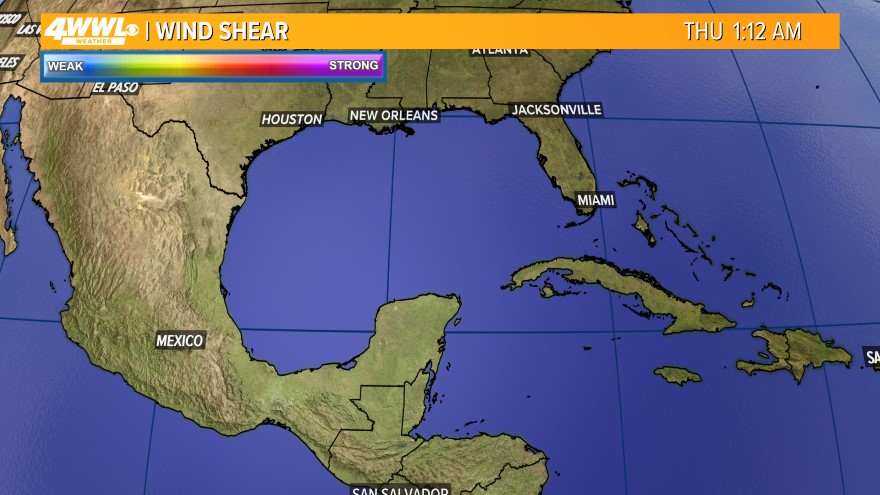
Now Tropical Storm Fay winds a whole 45Kts over the Chesapeake peninsula coast running then out to sea
|
|
|
|
Post by Ratty on Jul 10, 2020 10:09:13 GMT
Now Tropical Storm Fay winds a whole 45Kts over the Chesapeake peninsula coast running then out to sea An unusual spot for something to develop? |
|
|
|
Post by nautonnier on Jul 10, 2020 10:25:23 GMT
Yes it started as disorganized showers off the Georgia/South Carolina coastline and only got its act together in the last 12 hours over the Outer Banks. It's track is now different too as it looks like it will stay inland from landfall in New York City all the way to Labrador. It may give the sea defenses around Governor's Island and the Hudson a little workout too depending on the tide when it goes over.  |
|
|
|
Post by Ratty on Jul 10, 2020 12:32:18 GMT
Looks like Blue will be in the firing line at 2:00AM Saturday.  |
|
|
|
Post by nautonnier on Jul 10, 2020 15:20:40 GMT
|
|
|
|
Post by phydeaux2363 on Jul 11, 2020 21:37:45 GMT
Prediction: major (CAT 3 or greater) hurricane will strike the US two days either side of September 2, 2020.
|
|