|
|
Post by magellan on Dec 13, 2010 0:34:26 GMT
A comparison of local and aggregated climate model outputs with observed dataAbstract We compare the output of various climate models to temperature and precipitation observations at 55
points around the globe.We also spatially aggregate model output and observations over the contiguous USA using
data from 70 stations, and we perform comparison at several temporal scales, including a climatic (30-year) scale.
Besides confirming the findings of a previous assessment study that model projections at point scale are poor, results
show that the spatially integrated projections are also poor.
|
|
|
|
Post by sigurdur on Dec 13, 2010 1:13:45 GMT
Magellan. Your link doesn't work.....can you post the url?
|
|
|
|
Post by flyingmonkey on Dec 13, 2010 6:51:53 GMT
|
|
|
|
Post by northsphinx on Dec 13, 2010 14:21:34 GMT
The hydrological cycle and it variance have big impact of outgoing IR. It is many times larger than any CO2 radiative forcing showed anywhere. With a increasing temperature variance but still around average earth temperature will outgoing IR increase because of radiance is depending on T^4. That is a global cooling. Average temperature will be lower with increased temperature variance. Check now this: 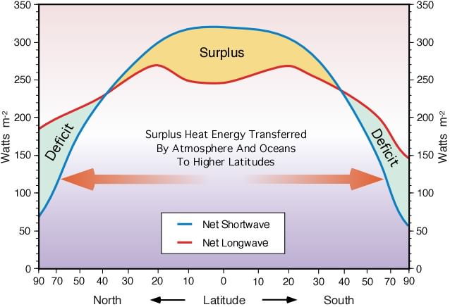 An reduced heat transport polewards by any reason will lead to global cooling due to more IR lost in the tropics then less lost at high latitudes. It will also mean much lower temperature in high latitudes because of less heat transferred there. A double reason for high latitude cooling. The first sign would be a higher average atmospheric temperature due to less heat transport from low latitudes to high latitudes. High latitudes is a rather small area compare to low latitudes. Then will average temperature also drop. The opposite is rather interesting. A increased heat transfer polewards will first be noticed a as a cooling at low latitudes heating at high latitudes and be a global heating. How do we measure this? By measure average global temperature? Or measure temperature variance? The few last winters have all shown signed of "strange" heat or maybe more accurate a unusual cold air distribution. Where I live is it a cold winter again with wind from east instead of west. Less heat is brought to us from the Atlantic and that make it very cold. If this high variance/low heat transport regime continue will this after a while cool the earth. If now the trend goes into a low variance/high heat transport regime will global temperature first drop then raise average temperatures. What could change the poleward heat transportation capacity? |
|
|
|
Post by poitsplace on Dec 13, 2010 16:51:55 GMT
I believe the cold phase transport modes rely more on ocean currents to drag the heat poleward. These sorts of changes lead to different temperature distributions (those of the previous cold period most likely).
Of far more importance in the cold phase is the instability of the polar vortex. While the ocean currents initially cause warming, the moisture balance causes far more snow to accumulate on the northern land masses and much farther south. You know how they've pretty much settled on low clouds causing cooling...well snow acts like the ultimate in low clouds. Its just sitting there on the ground, reflecting as much (if not more) light than clouds while being a near perfect black body emitter in IR frequencies. Then of course you look at the NASA maps and notice the HUGE contrasts. Either the area is blanketed in snow or its unseasonably warm, either emitting like crazy or reflecting like crazy. I dunno, I could be wrong on that...the climate system is just WAY too complex. It just seems to me that the energy loss during the cold period is staggering.
Oh well...we've got lots more eyes on the planet...assuming the science is just a bit more straightened out...we should find out pretty soon if the climate is going the other way
|
|
|
|
Post by northsphinx on Dec 16, 2010 7:47:47 GMT
Something like this Poitsplace? "The positive AO state is characterized by an anomalously strong polar vortex that traps cold air in high latitude and more zonal mid-latitude jet stream that allows maritime Pacific air to invade North America and Atlantic air to flood Europe often as far east as the Urals. In the negative mode, high pressure dominates the polar region and North Atlantic, shunting arctic air south in North America and Siberian air west to Western Europe." icecap.us/images/uploads/GHG_Model_failure_AO.pdfSo what change polar vortex strength? My two cent: The suns activity in one way or another. Native arctic people say that strong northern light indicate warmer weather to come within a couple of days. All circulation changes do change the Hydrologic cycle. |
|


