|
|
Post by trbixler on Feb 26, 2010 16:09:55 GMT
|
|
|
|
Post by hilbert on Feb 26, 2010 21:03:57 GMT
|
|
|
|
Post by trbixler on Feb 26, 2010 23:49:00 GMT
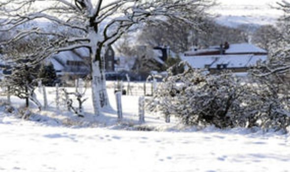
"Storm rakes East; more than 1 million in the dark" " Snow is still falling in New York City, where nearly 21 inches has been measured. The storm is also still battering New England. The area is dealing with rain, snow, high winds and coastal flooding. More than a million people have lost power from Maine to Pennsylvania. " www.breitbart.com/article.php?id=D9E41GHO0&show_article=1 |
|
|
|
Post by spaceman on Feb 27, 2010 1:02:39 GMT
New Jersey ratty, We've had a record breaking year for snow. We haven't had this much snow since 1996. Which was, well look at the solar cycles. We've had snow on the ground since the middle of December. And we might have another super storm this coming Tuesday. If it doesn't hit us, it will hit the southern states. Some of the snow piles are beginning to look like glaciers.
|
|
|
|
Post by trbixler on Feb 27, 2010 5:35:06 GMT
|
|
|
|
Post by trbixler on Feb 27, 2010 17:18:50 GMT
|
|
|
|
Post by nautonnier on Feb 27, 2010 17:51:21 GMT
This is the hottest mid-troposphere January that the world has ever seen. I suggest that these climate scientists hold their briefings in shirtsleeves in the open air: Auchterader would be good at the moment or perhaps Central Park in NYC. It may force them to describe precisely what they mean. The atmosphere is warmed by heat energy leaving the Earth. The actual energy in the Earth is measured by Ocean Heat Content - and that is starting to drop. |
|
|
|
Post by jurinko on Mar 5, 2010 8:40:37 GMT
At least 1 week of frosty weather forecast in Central Europe, even colder in mid-west (Austria, Switzerland, Germany, France). For the first half of March this is quite unusual.
|
|
|
|
Post by douglavers on Mar 6, 2010 10:49:26 GMT
Looking at the BBC weather site, it is quite noticeable that the jet stream for both Europe and North America is [and has been for some time] far to the South of its normal track.
Is this a result of the AMO or PDO switching to the "cold" cycle?
Meanwhile. Melbourne has just suffered one of its worst ever thunderstorms. Hail up to 10cms reported near here. My wife's car is heading for the panel shop. I have not been able to check my solar panels yet.
|
|
|
|
Post by nautonnier on Mar 6, 2010 11:02:08 GMT
Looking at the BBC weather site, it is quite noticeable that the jet stream for both Europe and North America is [and has been for some time] far to the South of its normal track. Is this a result of the AMO or PDO switching to the "cold" cycle? Meanwhile. Melbourne has just suffered one of its worst ever thunderstorms. Hail up to 10cms reported near here. My wife's car is heading for the panel shop. I have not been able to check my solar panels yet. The polar vortex has shifted a LONG way South and has been so for some time. This could also be caused by stratospheric effects at the pole. As is often the case, it is difficult to identify what the causation is in an inter-related chaotic system of positive and negative feedbacks. |
|
|
|
Post by nautonnier on Mar 6, 2010 12:39:54 GMT
Another frost in central Florida - air temperatures here are running around 10 - 15 oF below normal. The sea surface temperatures are colder than normal too.   This end of the Gulf Stream is cooler. Yes I know this year is really REALLY HOT. I hope it doesn't get any hotter as Florida has already had enough snow.  |
|
|
|
Post by sigurdur on Mar 6, 2010 13:46:48 GMT
Nautomier:
Where do you get the sst temp plot? I have looked for the one you present as it is very clear.
Also, notice the last week, the change in the Pacific. Think the tsunami had an affect?
|
|
|
|
Post by nautonnier on Mar 6, 2010 14:38:31 GMT
|
|
|
|
Post by sigurdur on Mar 6, 2010 19:37:13 GMT
Thank you Nautomier. Notice how fast the hot spot northwest of Australia disappears in the last frame of the loop. It shifted west to a be a veryyyy tiny spot. Amazing really.
|
|
|
|
Post by jurinko on Mar 6, 2010 20:13:11 GMT
This is not even funny: -8C at night in Central Europe, forecast well into mid-March here www.shmu.sk/sk/?page=1186I think, that warmer or colder periods in our latitudes are the result of how much cold arctic or warm Mediterranean air we are getting here. Warm winter is not a sign of increased greenhouse effect, but simple prevalent flow of warm air from the south. Cold March - the same in opposite garde. I believe, decadal changes in air circulation are affected by SST cycles. |
|


 )
)